Mexico City is a bustling, enormous, modern city, one of the largest in the world. Triple-decker highways and gigantic tunnels bore through the mountainous terrain. Towering skyscrapers, enormous cathedrals and one of the world’s largest squares sit impressively atop a gigantic drained lake. Everywhere there are signs of the Aztec empire which came before - in the street names, the festivals, the food, and the language. It is truly one of the most fascinating and enigmatic cities on earth.
It's also one of the most unequal countries in the world. The wealthiest 1% of the population earns 21% of the nation’s total income, a percentage higher than any other country in the world. Significantly, much of that wealth is concentrated in just a few multimillionaires (at one point, the world’s wealthiest man was a Mexican). By some measures, the top 4 richest men in Mexico concentrate 9% of the wealth, a staggering amount in a country this large.
Significantly, as shown by the 2022 World Inequality Report, inequality levels have not been meaningfully reduced, and actually increased, during the 2000s.
The western suburbs of Mexico City are representative of a diverse, heterogenous and deeply unequal society, cleaved by deep valleys and winding mountain roads. The Santa Fe suburbs are what drew me to CMDX in 2016 and ever since then, I have been fascinated by their sheer beauty and audacity. It seems like every ridge top has a different and unique development on top of it, sometimes similar, and sometimes very different in their economic stratum.
Much like Rio de Janeiro, the geography of the city has intrinsic character, sometimes a protector, sometimes an adversary.
My most recent visit was unique in that it took place within the last throes of the global pandemic of COVID-19, a pandemic which has exerted a devastating and unequal impact on lower income communities around the globe. In Santa Fe, one of the wealthiest areas of the city and one with a very low rate of COVID cases, luxury apartment buildings with helipads on their roofs sit opposite a valley from the low income housing of Álvaro Obregón, which has one of the highest rates of mortality from the virus. To me, it's a telling reminder of how architecture and urban design play such a large role in our understanding of society, both in how it is created and how it is interpreted.
Closer to the city center, and not too far from the tourists visiting the Frida Kahlo museum and the historic central district of Coyoacán is a boundary, between north and south, rich and poor, and the site of a rich history both complicated to unravel and simplistic in its manifestation written upon the city streets.
At the beginning of the 1970s, Pedregal de Santo Domingo was a relatively open, rocky area held in ownership by a relatively small number of "comuneros", given the land in 1948 to be held in communal land tenure. It is a triangular piece of land located just south of the historic center of Coyoacán, a famous area of Mexico City founded hundreds of years earlier, during the Conquest. During this time Pedregal de Santo Domingo was considered the edge of the city.
Mexico City at the time had a huge housing shortage, and in 1971 President Luís Echeverría Álvarez stated that he would begin to regularize informal land holdings in the city. This precipitated a rush of people to "invade" the land of Pedregal de Santo Domingo, one of the largest such land invasions in Latin American history.
The area was not immediately conducive to an easy life - no water, rocky terrain, and police harassment - but within three years a government assessment showed that 68,000 people now lived in the area. Soon afterwards, after sustained communal activism, services were established and the informal invaders began to be recognized by the city as legitimate.
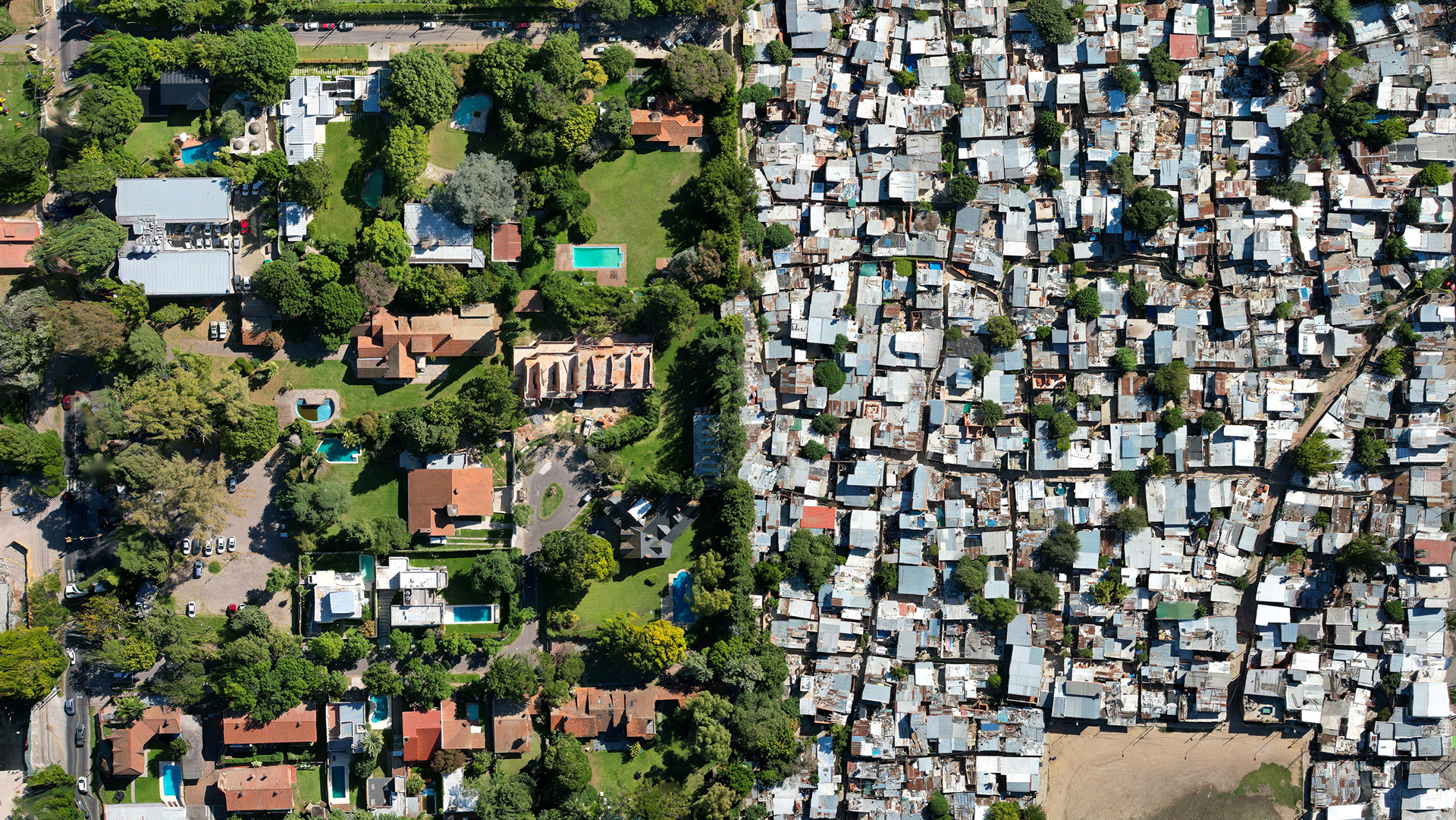
This all happened within demarcated boundaries which, on a map, show clearly the split between the colonies to the north, east, and west. As years passed the region became subsumed by the overpowering sprawl of Mexico City, becoming an "oasis of marginality within the city" rather than a boundary in and of itself. What's interesting to me are the parallels with other neighborhoods of exclusion, and the efficiency of infrastructural separation that belies the proximity of rich to poor. Of course, on a map this is difficult to see, but type in driving directions on Google maps, and it becomes apparent that to travel from Pedregal de Santo Domingo to Romero de Terreros, for example, requires an oblique journey down the main axis of Highway 10 instead of cutting through side streets.
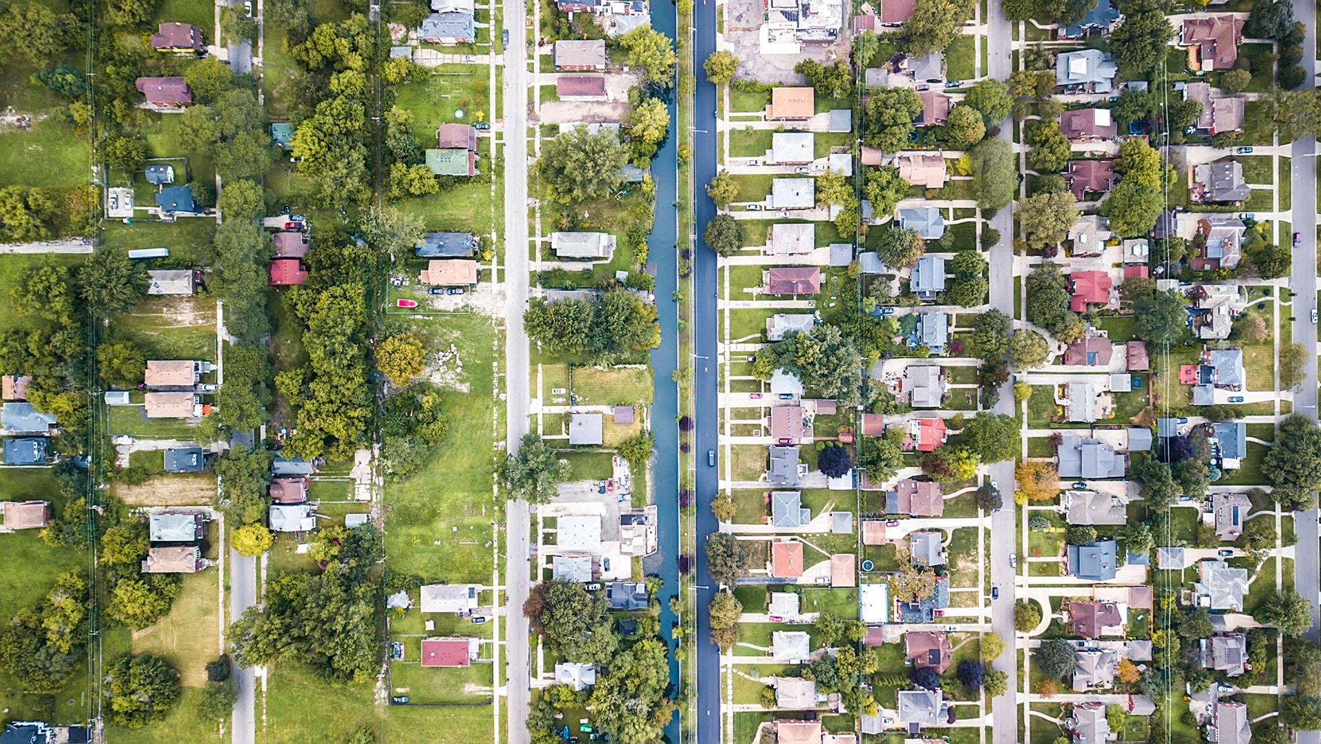
The reason, similar to Cleveland, Detroit, Cape Town, Nairobi, and so many other divided cities is a series of barriers and walls put together to separate the two communities neatly and discreetly. One of the easiest ways to see this is to enable street view on Google maps, and look at the available roads leading into and out of an area of exclusion.
Today the various communities in the area are separated conclusively by socio-economic and architectural elements, but the lessons of regularization through collective struggle is worth studying for other marginalized, poor, or informal communities. For more information on the region, research, or activism check out Sarah Farr's webpage here, or follow Maximo Jaramillo on Twitter here, both of whom have incredibly deep and heavily researched information on the area.
Special mention must be paid to private golf clubs in the city, which in Mexico are the exclusive domain of the wealthy. Average costs to join are between $16,000 and $35,000 per year, with the most expensive club over $100,000. That's striking in a country which has an average annual income of only $15,314.
I've always been interested in the way that golf courses look in relation to their surroundings on a landscape, and in a city like Mexico, they stand out like refreshing private oases among the endless concrete slab. This course sits high in the mountains which ring the city, at an altitude of over 2500 meters, a place where the elite have carved out a new downtown, new highways, new private estates, malls, and of course country golf clubs - Santa Fe. This glittering wealth often bumps up against uncomfortable realities, as the peripheral neighborhoods contain some of the poorest and most vulnerable people. COVID-19 has hit these neighborhoods, for example, disproportionately hard.
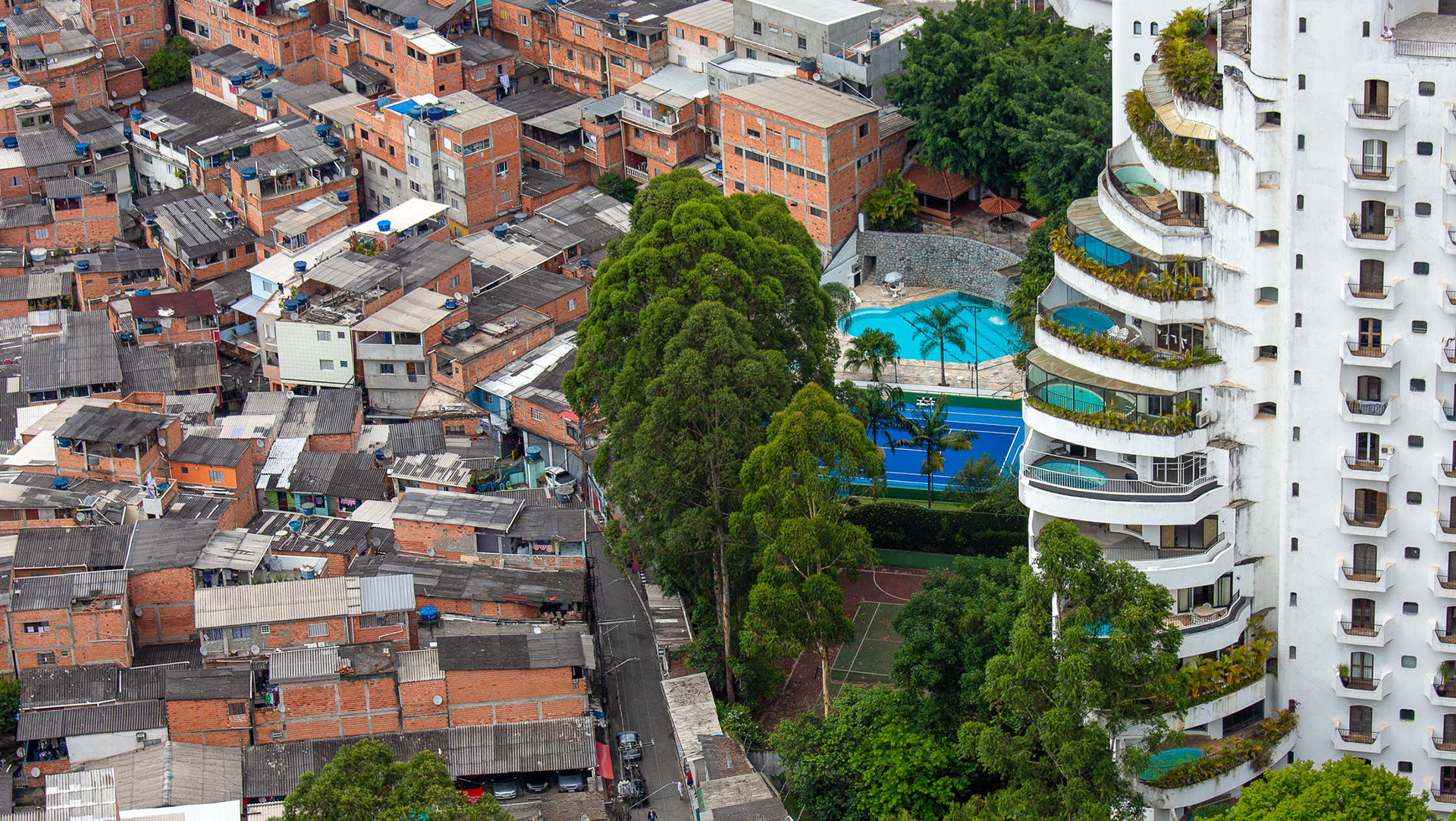
Like the author of the book "Privilege at Play: Class, Race, Gender, and Golf in Mexico" (Hugo Ceron-Anaya), I don't hold any enmity towards golfers, and I don't necessarily hold prima facie enmity against the wealthy either. (I do, however, have a chip on my shoulder for book designers who use an image of Sao Paulo on the cover of a book about Mexico City)
Powerful rent-seeking interests and systematic trends in societies (especially ones with a weak/corrupt/deregulated government) create forces at play that are much bigger than any one individual. To incorrectly quote Jay-Z, "hate the game, not the player". In my mind, that's why aerial photography is so powerful - it removes the individual gaze and gets at something much greater - what Eyal Weizman called "the inscriptions across the surface of the earth". These are collective decisions, aided and abetted by individuals of course, but not solely responsible. Fixing this, therefore, will take collective action to reverse.